At The Mercy of Town Planners
For a number of years the Mill Stream was at risk of being lost forever. Pedestrianisation of the High Street was a proposal of the 1969 Town Centre Plan and in the early 1980’s it remained an objective of the local authority that would depend on the completion of the southern section of the Central Relief Road.
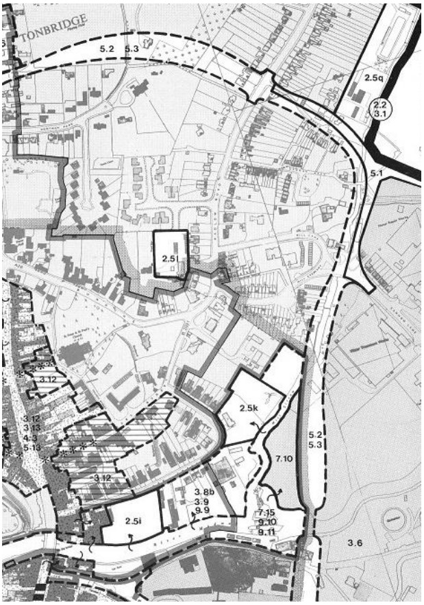
The map is an extract from the 1982 District Plan and shows the Mill Stream running down the right hand side, over which is the proposed route of the relief road running the entire stretch from The Mill to a point behind where Lockside is now built and then onwards over the river just below Town Lock.
Homes in Mill Crescent that benefit from the waterway at the foot of the garden would have lost up to 50% of their garden and the quiet flowing water was at risk of being replaced by a busy road taking traffic away from Cannon Lane.
The stream would be culverted under the new road and lost forever.
By 1996 the relief road was still part of the town plan and it wasn’t until 1998 that confirmation was received that it had been rescinded.
The same District Plan of 1982 included The Mill Stream as one of several areas to be developed for informal recreation. Land East of the Mill Stream and West of the proposed Central Relief Road is allocated for public open space. The proposal was that this area would be separated from the industrial area by the relief road and could be linked to Lyons Crescent by a footbridge over the Mill Stream, then onward to Medway Wharf Road across Town Lock.
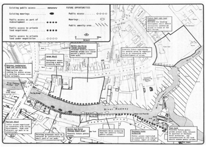
By Spring of 1998, the slow flow on the Mill Stream combined with successive mild winters had resulted in a buildup of Duckweed (Lemna minor). The mild winters had allowed the weed to remain on the water surface and propagate. Relatively lower water levels throughout the year had prevented the weed from dispersing along the stream. The surface of the stream between the dam and the mill house had at times the appearance of an unbroken green carpet almost indistinguishable from the garden lawns and banks that bordered it. The Mill Stream had become too wide for the volume of water that flowed through it particularly in Summer months. A riverside public footpath side was mooted as a solution, combing a light reduction in width to assist with the flow.
Today, the mixture of residential properties, together with commercial land and historic ownership anomalies presents a complicated ownership. For most of the waterway riparian rights and obligations are present. The exception being the short owned (Title K312494) section which follows the line of the now demolished Mill buildings and approach.
The future of the Mill Stream looks more certain than for many years. The threat of culvert has gone away and a community group Friends Of Mill Stream engages with landowners, the local authority, Environment Agency and other key partners to ensure riparian responsibilities are adhered to. Kingfishers, egrets, moorhens and ducks are amongst the abundant wildlife that frequents.